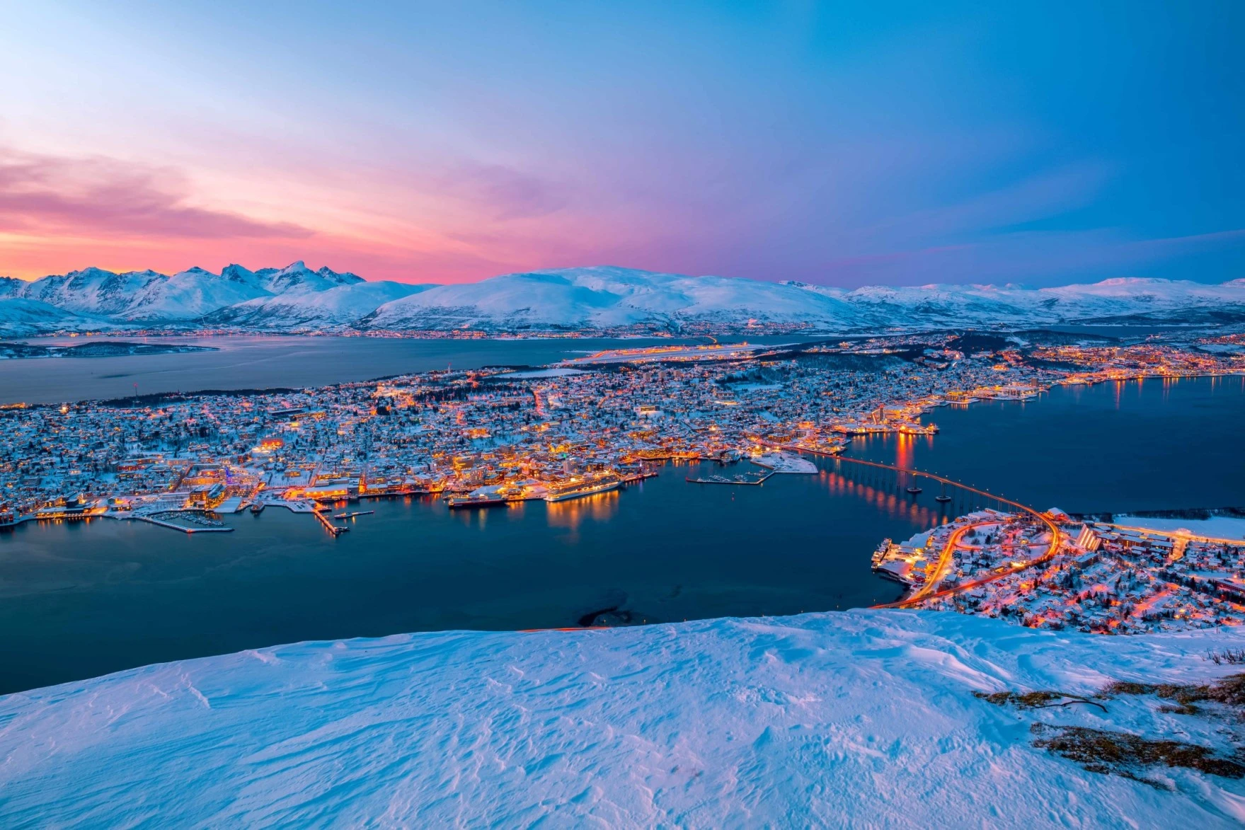


For many (mountain) hikers, Norway is just one big amusement park, but for lovers of endless road trips, Norway is more than perfect too. In 2004, the Norwegian government started a project to boost tourism. For it, the government designated 18 of its roads as the most photogenic and tourist-friendly. The roads were given (sometimes literally) breathtaking viewpoints, restrooms and parking areas, mostly designed by young Norwegian designers.
So today, everyone can enjoy the Norwegian wilderness in a safe and responsible way. Some of the roads are closed in winter, because it’s simply impossible or too dangerous to keep them clear of snow. So always make sure you do your research well before you set off.
These are the 18 National Tourist Routes of Norway. Drive safe!
Varanger

Varanger is a list of special bird species, a feeling of standing at ‘the end of the world’ and, above all, not knowing where to look first.
– 160 kilometers
– 123 meters above sea level
– Open from late May to mid-November
Havøysund
Havøysund is just as far north as the North Cape, but gets nowhere near as many visitors. In this dramatic landscape, the chances of coming across white-tailed eagles and reindeer are very high! Enjoy the views over the sea AND the rugged landscapes.
– 67 kilometers
– 233 meters above sea level
– Open all year round

Senja

Towering mountains, wide white beaches, bright blue fjords and endless sea views.. Senja has it all! Every outdoor lover can enjoy themselves to the fullest here.
– 102 kilometers
– 287 meters above sea level
– Open all year round
Andøya
Andøya is the northernmost island of the Vesterålen archipelago. The island is best known for its favorable location for spotting whales. What’s more, from here it’s super easy to take the ferry across to the Senja National Tourist Route.
– 58 kilometers
– 65 meters above sea level
– Open all year round

Lofoten

Lofoten is one of the longer National Tourist Routes. The road combines island hopping with towering mountain peaks, deserted beaches with cute fishing villages and (maybe) the northern lights!
– 230 kilometers
– 59 meters above sea level
– Open all year round
Helgelandskysten
Helgelandskysten is the longest of the 18 National Tourist Routes and takes you along the coastline from Bodø to Holm via six ferries. Along the way you’ll pass the ‘Vega’ islands, which are on the UNESCO World Heritage List.
– 433 kilometers
– 346 meters above sea level
– Open all year round

Atlanterhavsvegen

Atlanterhavsvegen, better known as the Atlantic Ocean Road, rolls, folds, curls, twists, climbs and descends spectacularly from Molde to Kristiansund. Brace yourself for the eight bridges!
– 36 kilometers
– 30 meters above sea level
– Open all year round
– Want to read more? Check out my blog about the Atlantic Ocean Road!
Geiranger-Trollstigen
Trollstigen may well be the most famous of these 18 roads. Through 11 hairpin bends, the road curls up from Isterdalen. If you drive the road all the way to the end, you’ll automatically end up in Geiranger; the pearl of the North!
– 36 kilometers
– 30 meters above sea level
– Open from late May to mid-November
– Want to read more? Check out my blog about Trollstigen!

Gamle Strynefjellsvegen

Gamle Strynefjellsveg dates back to 1894 and lives up to its name (Gamle = old). It’s the oldest of the 18 National Tourist Routes, and in many places it still looks that way. A pure road trip experience!
– 27 kilometers
– 1139 meters above sea level
– Open from mid-June to mid-October
Rondane
Serene and treacherous at the same time. The silence in Rondane is deafening and the weather can change several times a day, but there’s a reason people have been coming back to this place for generations.
– 75 kilometers
– 1060 meters above sea level
– Open all year round

Sognefjellet

Sognefjellet is the highest of the 18 National Tourist Routes and at the same time the highest mountain pass in Northern Europe. If you love dramatic settings, you’ll have a blast here.
– 108 kilometers
– 1434 meters above sea level
– Open from late April to mid-November
Valdresflye
High up in the mountains, the open landscape and lack of shade give you the feeling that you’re standing on top of the world. Or maybe you simply are?
– 49 kilometers
– 1389 meters above sea level
– Open from late March to late December

Gaularfjellet

One of Norway’s better-kept secrets is Gaularfjellet. A spectacular mountain road that’s a bit like Trollstigen, but with WAY fewer people.
– 114 kilometers
– 784 meters above sea level
– Open from late April to mid-November
Aurlandsfjellet
On Aurlandsfjellet you get the feeling you’re standing on another planet. You’ll meet few other people up there at 1306 meters, no matter the time of year.
– 47 kilometers
– 1306 meters above sea level
– Open from early June to late December
Hardanger

It’s like driving through one big painting. Feast your eyes on the thundering waterfalls (Skjervsfossen, Steindalsfossen, Låtefossen) along the route. And don’t forget your poncho!
– 158 kilometers
– 275 meters above sea level
– Open all year round
Hardangervidda
This route crosses the largest mountain plateau in Northern Europe; Hardangervidda. One of the largest wild reindeer herds in Europe lives and grazes here!
– 67 kilometers
– 1250 meters above sea level
– Open all year round

Ryfylke

From rugged mountains to deep fjords, and fertile fields to lush hills. Along the way you’ll pass Svandalsfossen and the famous Preikestolen, among other things!
– 260 kilometers
– 972 meters above sea level
– Open from mid-May to late November
Jæren
This road is different from all the others, because for the Norwegians who live nearby, Jæren is just an ordinary road. Still, they say you haven’t really seen Norway until you’ve seen Jæren.
– 41 kilometers
– 35 meters above sea level
– Open all year round

Personal travel advice
Would you like help putting together your dream trip to and through Norway? Or would you rather hand over the organizing of your trip completely? Get in touch with me and soon you, too, will be Lost in Norvana!